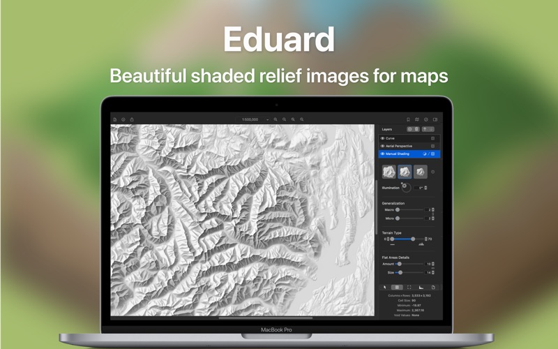
Eduard creates beautiful and accurate shaded relief images for terrain maps. Eduard uses machine learning to match the aesthetics and details of relief shadings created by Swiss cartographers.

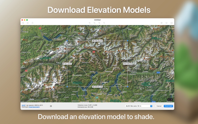
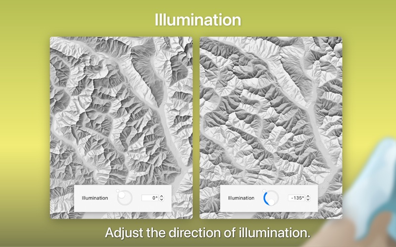
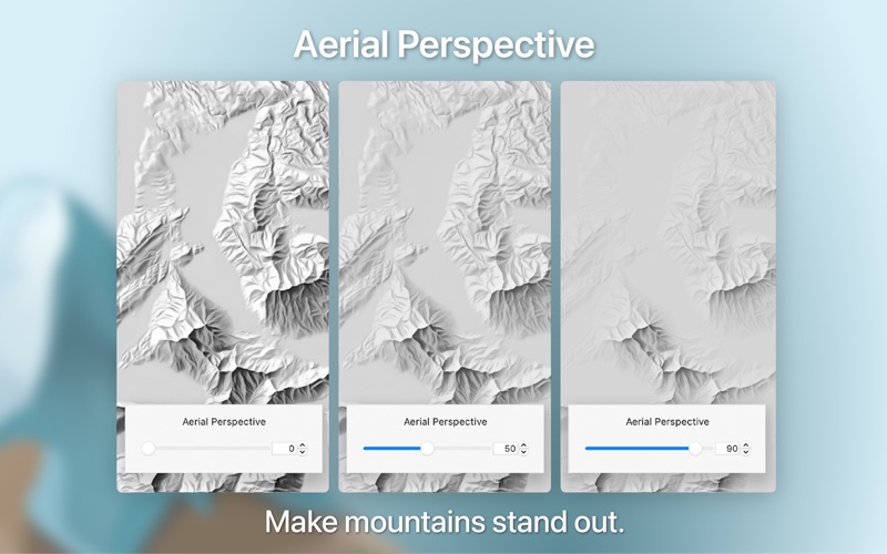
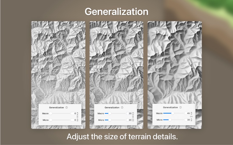
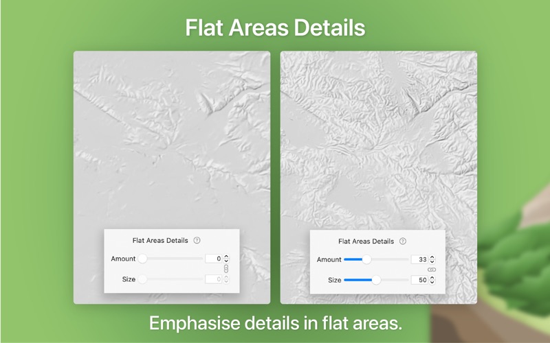
You define the overall direction of illumination and Eduard locally adjusts the direction to show small details and emphasize large landforms. With aerial perspective, Eduard makes mountain peaks stand out or gives all landforms the same prominence. Eduard helps you to remove distracting terrain details and adjust the granularity of the shading to the scale of your map. Eduard supports layers with elevation and slope masks. With Eduard you quickly download elevation data from almost anywhere on Earth or import digital elevation models in a variety of formats.

Eduard supports spatial coordinate systems and all commonly used GIS raster file formats.