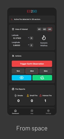
Built on the European's flagship Copernicus and Galielo programmes and complemented with global satellite constellations, EO2GO Wildfire Edition delivers fast and mobile-first wildfire situational awa
Built on the European's flagship Copernicus and Galielo programmes and complemented with global satellite constellations, EO2GO Wildfire Edition delivers fast and mobile-first wildfire situational awareness directly on your device.

Designed for wildfire operations and degraded connectivity environments.

Key features:
• Wildfire hotspot awareness from satellite Earth observation
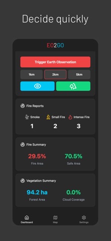
• Vegetation and burned-area context visualisation
• Mobile-first operational wildfire support
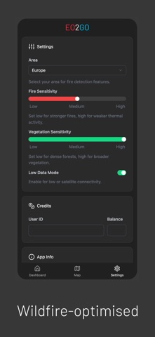
• Low-data mode for degraded or phone-to-satellite connectivity
• Fire reporting and collaborative situational awareness
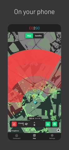
• Interactive wildfire map overlays
• GPS and AOI-based field deployment support
• Optimised for emergency and operational environments

EO2GO Wildfire Edition is designed to support:
• Firefighters
• Wildfire response teams
• Emergency management organisations
• Civil protection operators
• Field coordinators and operational personnel

The app focuses on rapid usability and operational simplicity:
Just open the app, select your area and retrieve wildfire context from space within seconds.