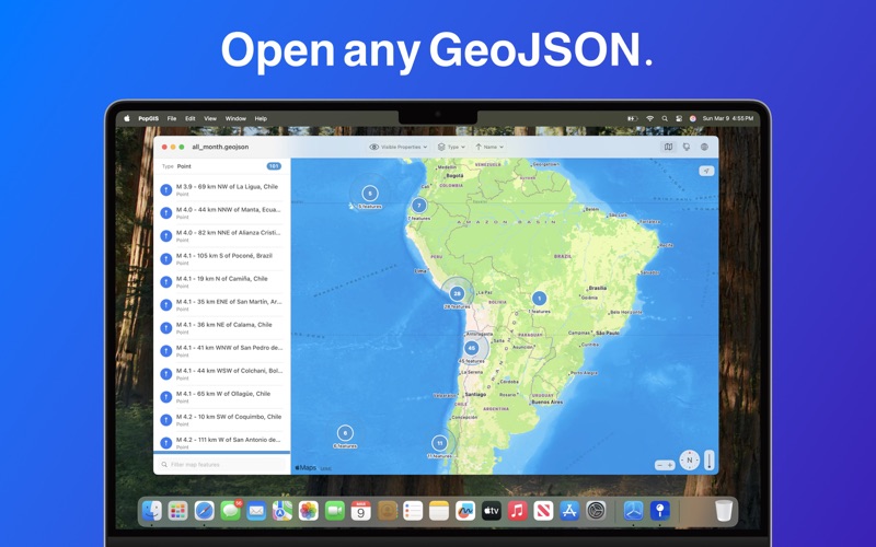
PopGIS is the simplest tool to view and edit GeoJSON files on your Mac. Open and edit geospatial datasets on your Mac using RFC 7946 compliant .json and .geojson files - import data from web feeds, APIs, and public data sources.

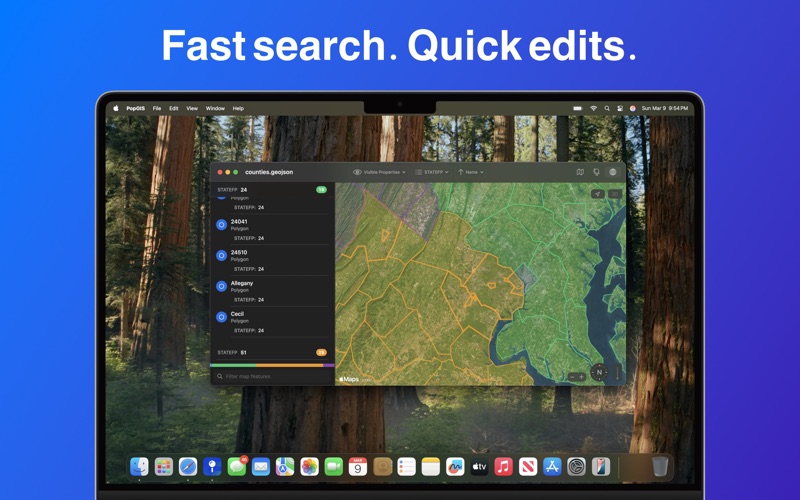
* Search and filter geospatial features based on properties
* Open large files up to 250MB+ in size
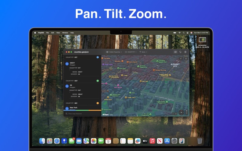
* Pan, tilt, and zoom the map with intuitive controls
* Edit individual properties to correct errors and mistakes
* View the latest satellite and vector base layers from Apple Maps
* Preserve your privacy: no tracking, no ads, no data collection

Terms of Service: https://www.apple.com/legal/macapps/stdeula/
Privacy Policy: https://popgis.com/privacy/