
Description
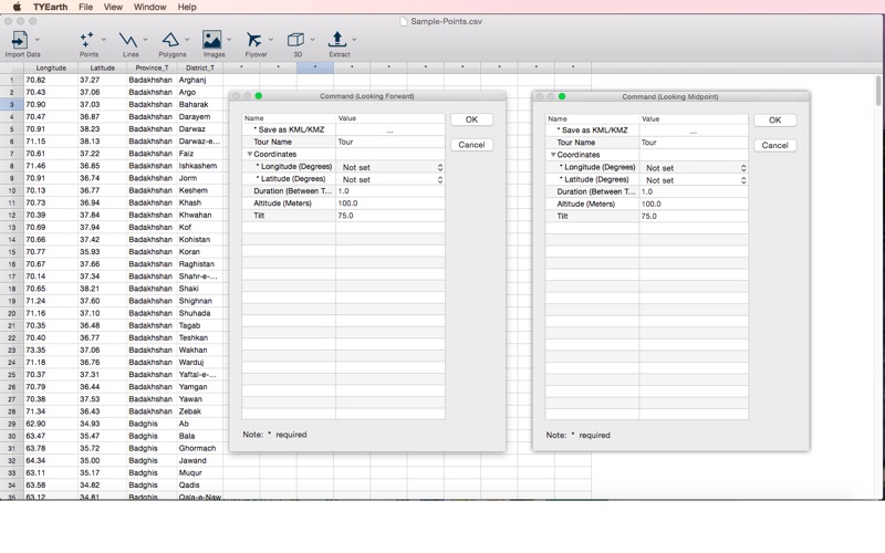
Use the TYEarth to read spatial data from the data sheet editor, and generate KML/KMZ files which illustrate the map locations, displays images, run flyover tours, and more
Use the TYEarth to read spatial data from the data sheet editor, and generate KML/KMZ files which illustrate the map locations, displays images, run flyover tours, and more.

Import Data
•  Text (*.csv, *.txt)
•  dBASE (*.dbf)
•  Sample - Points
•  Sample - Lines
•  Sample - Polygons

Points
•  Icons
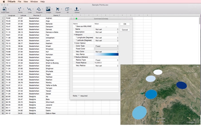
•  Circles
•  Cylinders

Lines
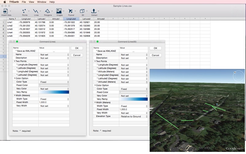
•  Lines
•  Lines3D

Polygons
•  Single Polygon
•  Claims

Images
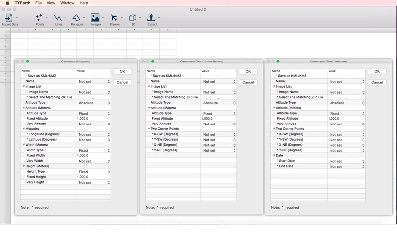
•  Midpoint
•  Two Corner Points
•  Time Variation

Flyover
•  Looking Forward
•  Looking Midpoint

3D
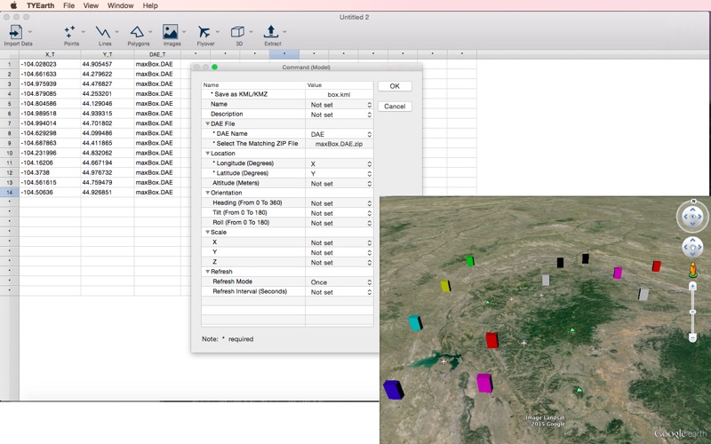
•  Model

Extract
•  Point Data
Category: ()
Version: 1.3
BundleId: TYEvolution.fuzhihui.TYEarth
Developer: 元荃 李
Updated: 2021-12-09
