Style

Screenshots
9 screenshots Grid- Version
- 0.5.6 (47)
- Size
- 21 MB
- First release
- Jul 31, 2026
- Category
- Navigation
Description
from the App Store listingGL Connect is the official companion app for full featured control and setup of RTK GNSS receivers GLRM and GLR from General Laser.
It provides a powerful and intuitive interface to configure, monitor, and operate your GLRM and GLR receiver across a range of professional applications including surveying, mapping, and construction.
NTRIP client included, right from your phone or tablet. Real-time accuracy for surveying, mapping, and geolocation on the go.
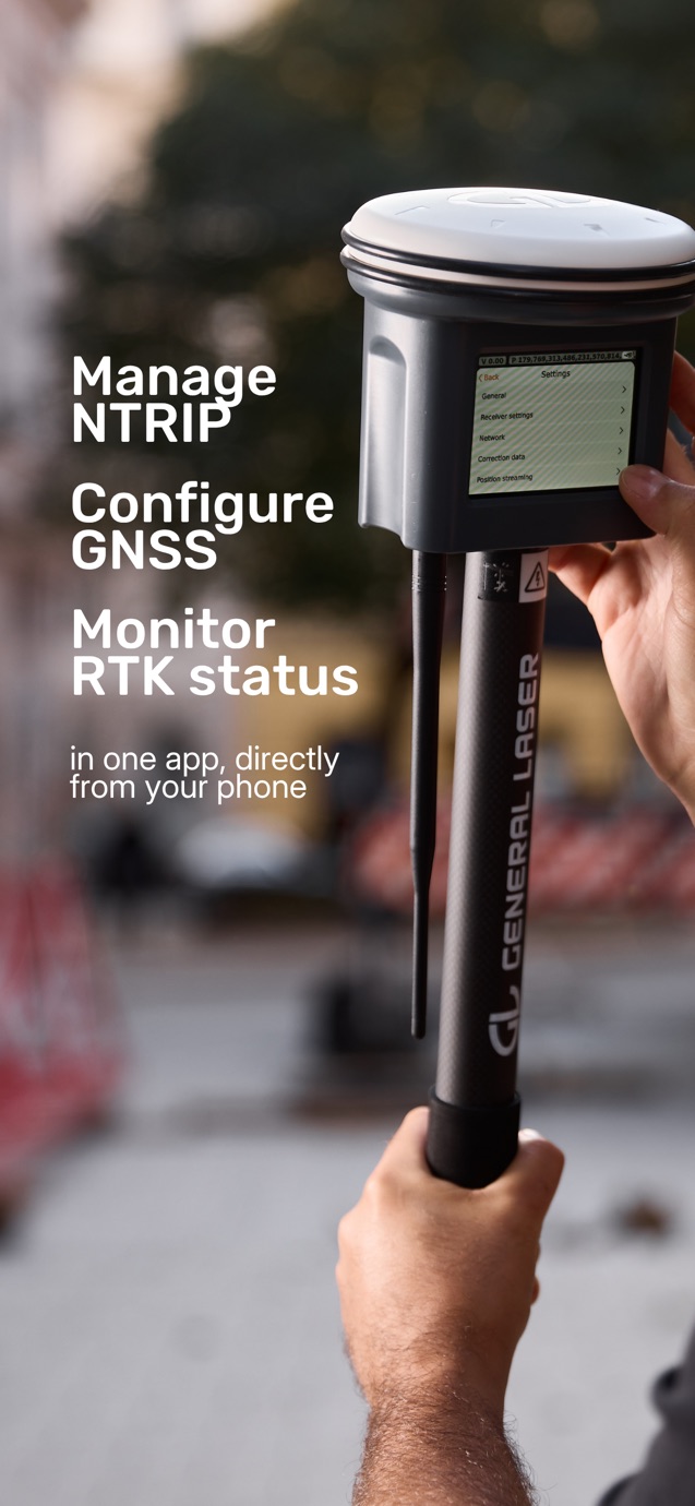
Configure your GNSS receiver, manage NTRIP connections, monitor RTK status, and capture accurate positions—all in one app.
Key Features:
* Instant Bluetooth Pairing: Connect quickly and securely to your GLRM device using Bluetooth Low Energy (BLE).
* NTRIP RTK Support: Configure and manage your NTRIP client to receive real-time correction data and achieve centimeter-level accuracy.
* Full GNSS Control: Select satellite constellations (GPS, GLONASS, Galileo, BeiDou, etc.), configure signal bands, and apply elevation and SNR masks to optimize your fix.
* Real-Time Status Monitoring:
* GNSS fix type, number of satellites, and position accuracy
* RTK status indicators with LED sync
* Battery level and temperature readouts
* Device firmware and hardware info
* Tilt Compensation (FW 1.7+): Accurately capture GNSS points with up to 60° of pole tilt using real-time IMU calibration. View compensated coordinates and heading directly in-app.
* Custom Configuration Options:
* Set antenna type, offset, and height
* Adjust position/satellite info streaming rates (1 Hz / 2 Hz)
* Personalize your device name for easier tracking
* Firmware Updates: Manual firmware update flow to keep your GLRM receiver running the latest features and fixes.
* 2D Mapping Interface: Visualize antenna and tilt-compensated positions on an OpenStreetMap-based view.
Applications:
Field engineers, surveyors, GIS professionals, and construction teams who demand accurate GNSS data in a streamlined, mobile workflow.
Supported Devices:
GLRM and GLR GNSS Receivers
What users say
0 written reviewsNo written reviews yet
Share cards #
Instagram / Weibo / RED open the system share sheet with the generated card image
GL Connect
Navigation
Free
iOSAppGallerywww.iOSAppGallery.com


GL Connect
Navigation
Free
Scan to view
iOSAppGallery · iOSAppGallery.com
Discover iOS apps & games
GL Connect
Navigation
Free
Scan to view
iOSAppGallery · iOSAppGallery.com
Discover iOS apps & games
GL Connect
Navigation
Free
iOSAppGallerywww.iOSAppGallery.com


{"@context":"https://schema.org","@graph":[{"@type":"SoftwareApplication","name":"GL Connect","applicationCategory":"Navigation","operatingSystem":"iOS","url":"http://www.iosappgallery.com/en/share/6621263718","image":"https://is1-ssl.mzstatic.com/image/thumb/Purple211/v4/dd/a6/77/dda677c6-fd51-96e6-e419-aedf41d602cb/AppIcon-0-0-1x_U007emarketing-0-11-0-85-220.png/512x512bb.jpg","aggregateRating":null,"offers":{"@type":"Offer","price":0.000,"priceCurrency":"CNY"}},{"@type":"BreadcrumbList","itemListElement":[{"@type":"ListItem","position":1,"name":"Apps","item":"/"},{"@type":"ListItem","position":2,"name":"Navigation"},{"@type":"ListItem","position":3,"name":"GL Connect"}]}]}