Air Quality Index displays worldwide visual climate data from many sources including: NOAA, Copernicus (CAMS / ECMWF), NASA, Open-Meteorological, OpenAQ, and the Smithsonian Institution
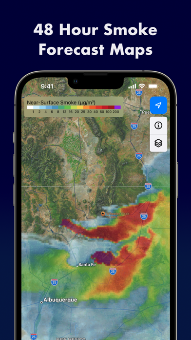
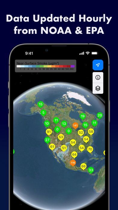
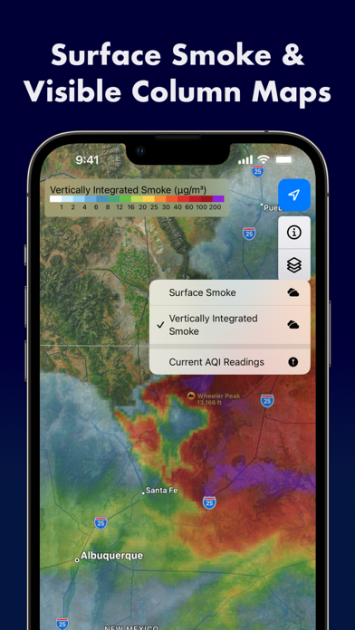
Air Quality Index displays worldwide visual climate data from many sources including: NOAA, Copernicus (CAMS / ECMWF), NASA, Open-Meteorological, OpenAQ, and the Smithsonian Institution. Smoke prediction forecasts show 48 hour Near Surface and Vertically Integrated Smoke prediction maps using data provided by NOAA's National Centers for Environmental Prediction and The European Union's Copernicus Atmospheric Monitoring Service. Forecast maps are available worldwide. Other data sources include: Wildfires, AQI sensors, PM2.5 forecast, Dust, Haze, Volcanoes, Satellite imagery, and Pollen (Europe).