Turn an iPhone into a practical road inspection tool: estimate the International Roughness Index (IRI), map pavement condition, add chainage or mileposts, export GIS data, and create final PDF reports
Turn an iPhone into a practical road inspection tool: estimate the International Roughness Index (IRI), map pavement condition, add chainage or mileposts, export GIS data, and create final PDF reports.

IRITracker Road Roughness helps contractors, inspectors, road engineers, municipalities, and maintenance teams document paved-road condition from field recording to a shareable final report. The app uses iPhone motion sensors and GPS to produce indicative roughness and IRI estimates along a driven route.

FIELD SURVEY
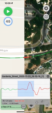
	•	Record the GPS track, speed, acceleration, and segment-by-segment road roughness.
	•	See color-coded route segments, IRI graphs, route statistics, and roughness distribution.
	•	Record a continuous series of logs for longer road corridors.
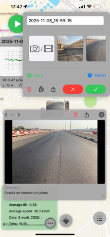
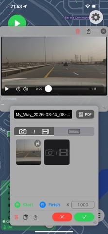
	•	Attach photos and video evidence to specific route segments, and record full-route video.
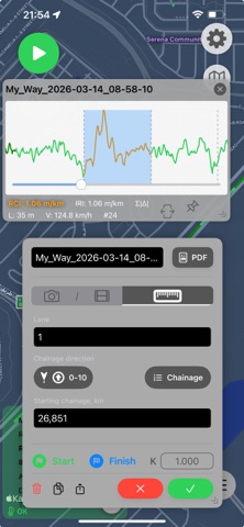
	•	Save the lane, comments, starting chainage or milepost, and increasing or decreasing direction.

CHAINAGE AND MILEPOSTS
	•	Add, edit, and delete chainage or milepost markers for individual route segments.
	•	Review the route map and corresponding video while choosing a segment and reference frame.
	•	Keep chainage data consistent across logs in a series and in new reports.

REVIEW AND ORGANIZE
	•	Review, trim, merge, rename, and filter recorded logs.
	•	Filter logs by name and date, then display all matching routes together on the map.
	•	Work with large log collections more comfortably on iPad and compatible Apple silicon Mac computers.

EXPORT AND REPORTING
	•	Create Universal Export packages for spreadsheet and GIS workflows, including CSV, KML, and GeoJSON.
	•	Import and share native IRITracker log packages, or batch-export multiple logs.
	•	Create a final PDF reporting document that consolidates the app's calculations and the field crew's work, including route maps, roughness results, graphs, chainage or mileposts, and selected concern segments with field media.

CALIBRATION AND UNITS
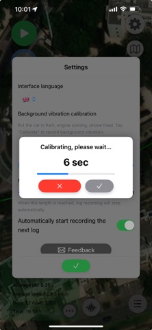
	•	Calibrate results for the vehicle and phone mounting position, or use a reference route to align measurements.
	•	Choose metric or imperial units.

PRIVACY
Survey data remains on your device unless you choose to export or share it.

IMPORTANT
IRITracker is a screening and field-documentation tool. Results are indicative and can be affected by the vehicle, phone mounting, speed, road conditions, and device sensors. It is not a certified road profiler or a replacement for calibrated professional equipment when formal acceptance or compliance measurements are required.

Some features and higher usage limits require IRITracker Premium.

English
Terms of Use (EULA): https://www.apple.com/legal/internet-services/itunes/dev/stdeula/